hărți
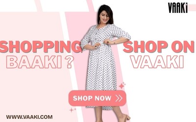
Vaaki
At Vaaki, fashion isn’t just what you wear—it's what you embody. From soulfully crafted ethnic styles to effortlessly chic Western silhouettes, Vaaki is your one-stop destination for looks that are ti...
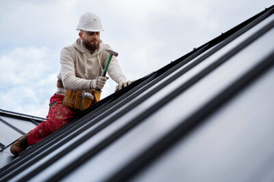
Zaman Roofing LLC
Zaman Roofing LLC is a roofing contractor based in Berlin, Connecticut, USA, providing residential and commercial roofing services.
simboluri
Green Map Icons
Welcome! Green Map Icons, version 3 are available for mapping and more - all to help you and your community thrive and become a healthier and more sustainable place! Now available under the Creative C...
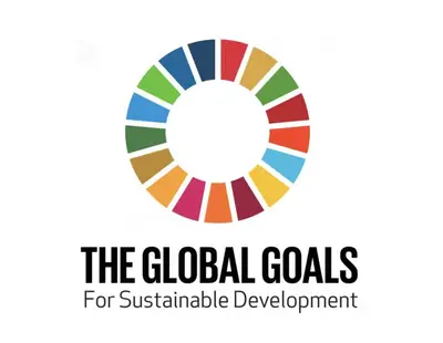
SDGs - the Sustainable Development Goals
The United Nations has created 17 SDGs - the Sustainable Development Goals. See them below and use them on this platform to to chart the signs of progress toward the SDGs in your town. Find more in...
Recovery Icons by Green Map
2020 Recovery Icons, designed to be used as people start returning to public life in the Covid era, point out places where you can distance safely, enjoy nature nearby, support local business and help...
locuri
Nature-based solution category: river restoration The Brerachan Water restoration project on Straloch Estate aims
to restore and enhance a section of the river by reintroducing meander bends, planting...
Nature-based solution category: sustainable drainage The Rescobie and Balgavies Loch sediment treatment pond project
created an 850,000-litre pond to benefit the Rescobie and Balgavies Loch Site
of Sp...
Nature-based solution category: woodland creation This native woodland restoration project on Glen Lochay
Estate began in 2010 and has established 522 hectares of new native woodland
with 800,000 nati...
Nature-based solution category: multi-habitat type This NatureScot-sponsored rewilding project at Lettoch Farm is
restoring meadowland, woodland and wetland to enhance biodiversity. The project
suppor...
Nature-based solution category: river restoration This floodplain reconnection project removed two sections of
embankment beside the Ministers Pool to reconnect the river with its
floodplain. The work...
Nature-based solution category: multi-habitat type This family-run Nature Restoration Fund rewilding project on
a small-scale landholding near Blairgowrie is creating new wetlands, native
woodland and...
Nature-based solution category: woodland creation The Tyndrum Community Woodland expansion project is creating
native woodland as part of the Wild Strathfillan Project. The project supports
woodland h...
Nature-based solution category: river restoration This EU LIFE+ river restoration project, completed in 2010,
aimed to improve habitat for freshwater pearl mussel, Atlantic salmon and
trout. Works inc...